
Cartes régionales - Officine
Carte actualisée au 1er octobre 2022
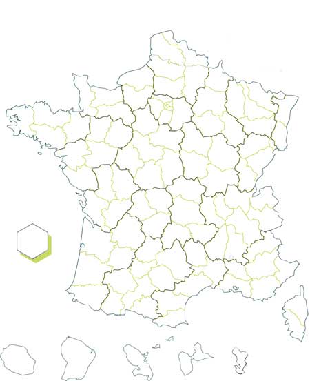


Source : Insee, 2022
< 5%
6-9 %
> 10%
-
GUADELOUPE
- Population 75 ans et plus : 9.5
-
MARTINIQUE
- Population 75 ans et plus : 10.8
-
GUYANE
- Population 75 ans et plus : 2.2
-
LA REUNION
- Population 75 ans et plus : 5.3
-
MAYOTTE
- Population 75 ans et plus : 0.9
-
ILE-DE-FRANCE
- Population 75 ans et plus : 6.9
-
CENTRE-VAL DE LOIRE
- Population 75 ans et plus : 10.9
-
BOURGOGNE-FRANCHE-COMTE
- Population 75 ans et plus : 11.1
-
NORMANDIE
- Population 75 ans et plus : 10.1
-
HAUTS-DE-France
- Population 75 ans et plus : 8.0
-
GRAND-EST
- Population 75 ans et plus : 9.4
-
PAYS DE LA LOIRE
- Population 75 ans et plus : 9.9
-
BRETAGNE
- Population 75 ans et plus : 10.6
-
NOUVELLE-AQUITAINE
- Population 75 ans et plus : 11.6
-
OCCITANIE
- Population 75 ans et plus : 10.9
-
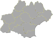
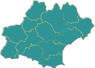
AUVERGNE-RHONE-ALPES
- Population 75 ans et plus : 9.6
-
PROVENCE-ALPES-COTE D AZUR
- Population 75 ans et plus : 11.6
-
CORSE
- Population 75 ans et plus : 11.7
-
France METRO+DOM
- Population 75 ans et plus : 9.5
